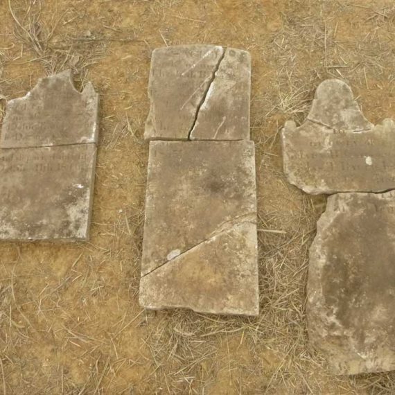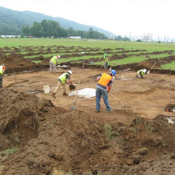


Yeager Airport Geophysical Survey
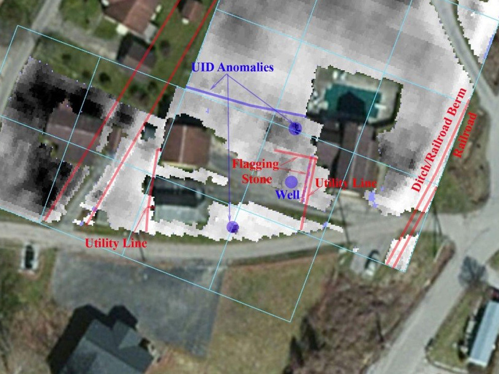
CRA conducted a geophysical survey on a 1.64-acre tract of land below the end of a runway of the Yeager Airport, adjacent to the Elk River in Charleston, Kanawha County, West Virginia. The property is the location of a multi-component site that includes evidence of both prehistoric and historic occupations. The prehistoric component consists of a small habitation site of unknown cultural or temporal affiliation, while the historic component focuses on the nineteenth-century Burgess house and two twentieth-century structures. The geophysical survey used a GSSI SIR-3000 ground-penetrating radar, a Geoscan FM-256 magnetic gradiometer, and a Geoscan RM-15 resistivity meter, which identified non-archaeological utility lines, vehicle tracks and footpaths, historic well, ceramics firing shed, historic rail lines and hardware, historic trash pits, and possible water features. A number of geophysical anomalies were subsequently ground-truthed through Phase II archaeological testing.