03 Jun Welcome Dr. Jeremy Menzer
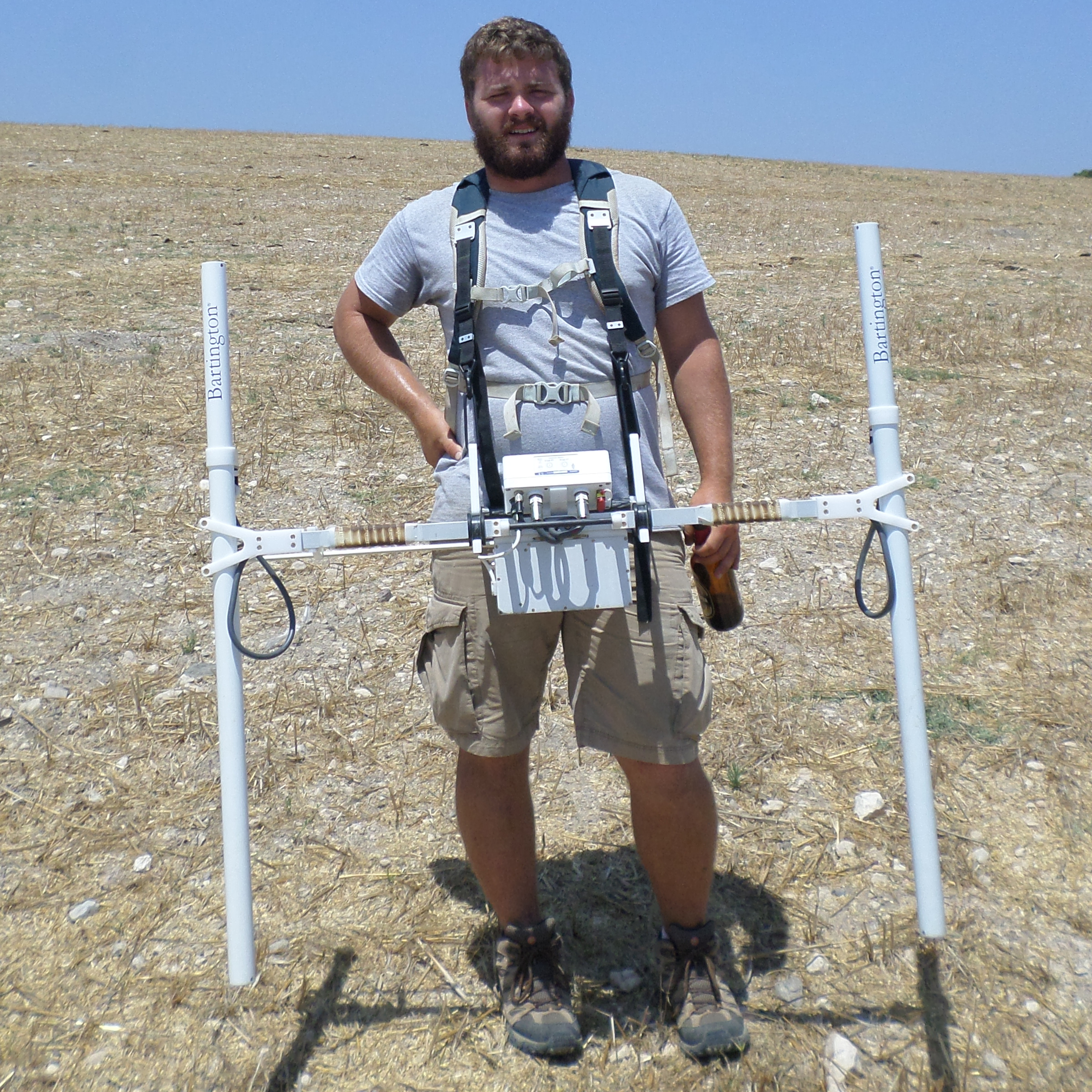
 We are very pleased to welcome Dr. Jeremy Menzer to CRA where he will serve as the Director of Geophysics and Remote Sensing. Dr. Menzer has acted as Geophysics Director for projects in Tennessee, Arkansas, Illinois, Texas, Peru, and Zambia. He has participated in numerous surveys as a geophysical assistant and geophysical lead for projects in Tennessee, North Dakota, France, Israel, and Botswana. He has regularly presented papers at regional, national, and international conferences, authored technical reports, and is currently preparing further publications.
He began practicing near-surface geophysics for geologic applications using ground-penetrating radar (GPR) in 2011 and performed his first archaeo-geophysical survey using magnetometry in 2013. Since then, he has broadened his background to include electromagnetic induction (EMI), electrical resistivity, down-hole techniques, photogrammetry, and all aspects of geophysical survey and other remote sensing projects (aerial and satellite imagery, photogrammetry, LIDAR, etc.).
Dr. Menzer earned a Master of Science, Geosciences: Geospatial Concentration at East Tennessee State University, Johnson City, Tennessee May 2015. There he studied archaeo-geophysics, remote sensing, and GIS as well as field methods, specific to archaeology. His thesis title was “Discovering Rock Features with Geophysical Exploration and Archaeological Testing at the Mississippian Pile Mount Site, Upper Cumberland Plateau, Tennessee.” His research included an examination of archaeo-geophysical evidence, correlated with excavation data at an uplands Mississippian mound site.
More recently, he was awarded his doctorate in Environmental Dynamics at the University of Arkansas (December 2021) focusing on advanced geophysical collection and data processing techniques, specializing in magnetic depth estimation. At Arkansas he studied archaeo-geophysics, remote sensing, GIS, and quantitative methods. He focused on advanced magnetic and advanced data processing techniques. Dissertation: “Investigating Depth Estimation to Archaeological Magnetic Source Bodies.” Evaluated classic and novel magnetic depth estimation techniques.
When possible he uses a multi-method approach for all field surveys. He is an advocate for the use of Free and Open-Source Software (FOSS) and enjoys coding geoscience based tools and algorithms for archaeological applications.


